Mapipedia Software
Our
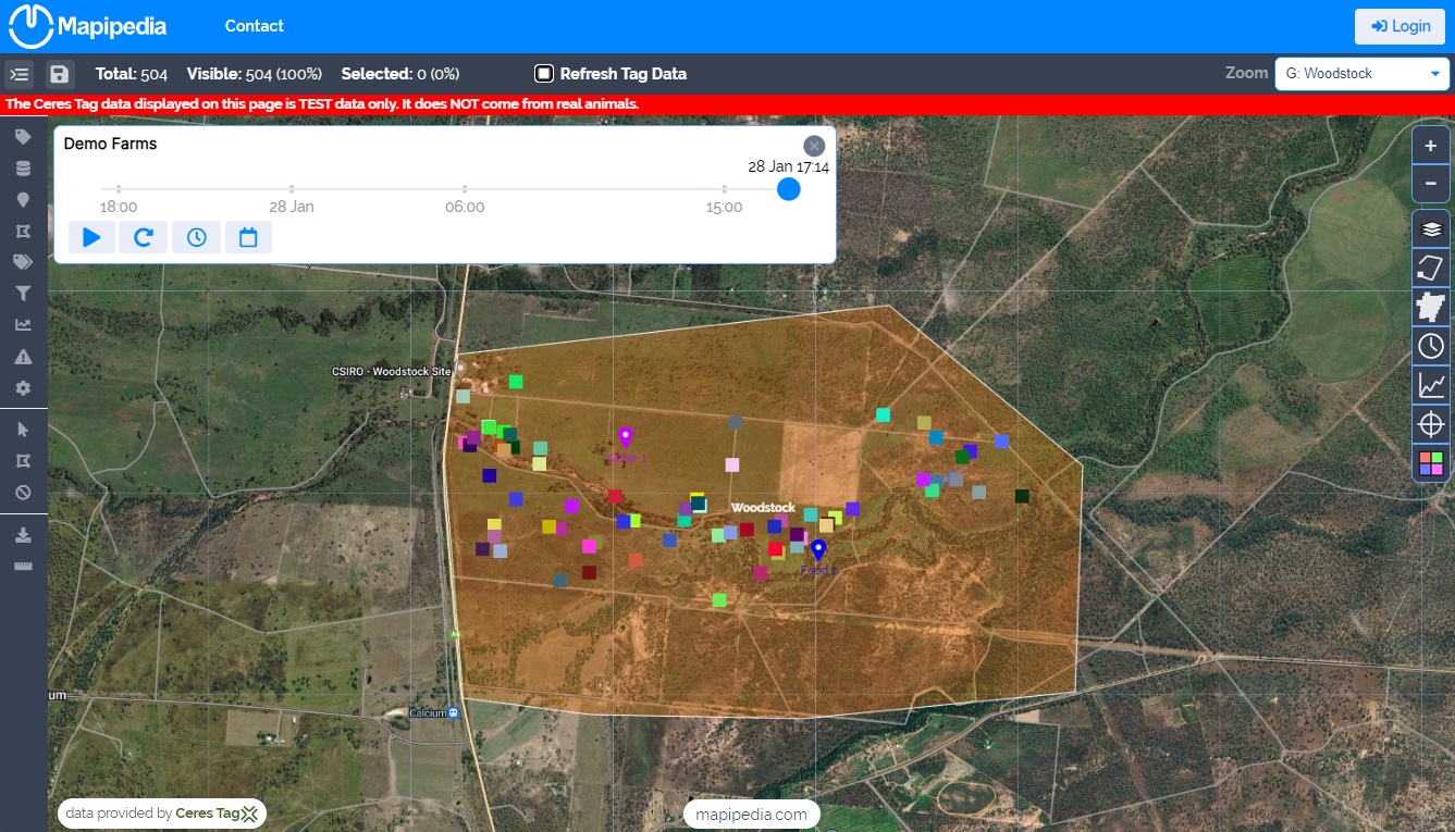
Software uses the latest web technologies to automatically import from
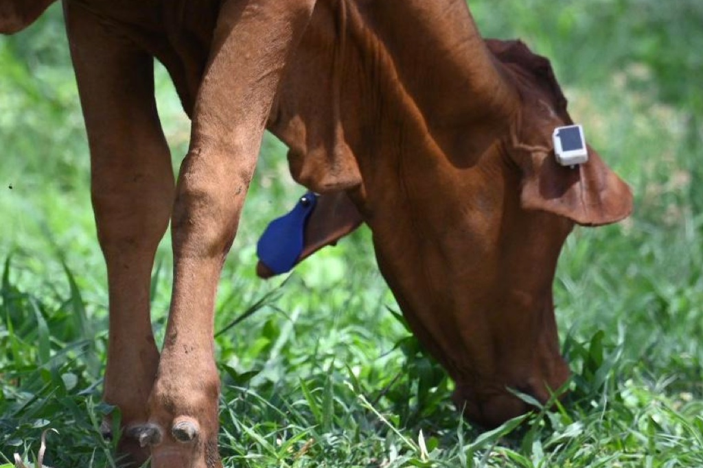
CERES TAG sensors and allow your data to be viewed on any device.
Visualisations
View
your data on maps like you've never seen it before with animations,
filters, geofences (e.g. paddocks), points of interest (e.g. water
sources, etc)
customised colour rules for each tag and more.
Alerts
Improve
your responsiveness to incidents and emergencies by being actively
informed via email, SMS, WhatsApp or via the web app when alerts that
are important to you occur such as:
perimeter breaches (eg. due to theft or damaged
fences), animals in distressed, stuck or have died, and more.
Pasture Feed Intake (PFI)
The latest CERES TAG sensors can measure Pasture Feed Intake which can estimate:
- Dry Matter Pasture Intake (kg)
- Methane Output (g)
- Grazing (minutes)
- Resting & Ruminating (minutes)
- Walking (minutes)
- Drinking & Unclassifed Behaviour (minutes)
Use this information to understand trends for individual animals. Combine it with weight gain to understand feed intake efficiency.
Animal Health
Monitor individual animals
- Distance travelled each day compared with other animals
- Biosecurity e.g. perform contact tracing on animals, or run what-if scenarios to simulate outbreak on your historical data
- Set no activity alerts e.g. animal is very sick or dead
- Set high activity alerts e.g. animal is in a fight, being hunted, is stressed
- Set low distance travelled alerts e.g. is stuck in mud, caught in a fence, moving slowly due to sickness
- Set temperature alerts e.g. improve survivability of lambs/calves in cold or hot weather
Multiple Data Sources
Use
data from other sources to map CERES TAG sensor ids to other important metrics
of your choice such as sex, date of birth, origin, breed etc to add
further context to new insights.
Data Sharing and Security
You
have control over who can view your data through Mapipedia. You can
also create links to allow others to have read only access to your data
without needing to login or have an account
(eg. useful if you have animals stolen and you want
to give Police access to your data for a limited time). You can also
download your data via CSV files.
Biosecurity
Run
what-if biosecurity simulations to understand better how an infection
could spread between animals. This can help you to put more informed
mitigation strategies in place to limit the spread of disease.
If a disease has been detected already in your
animals you can identify which other animals are most at risk based on
historical and proximity to known infections.


